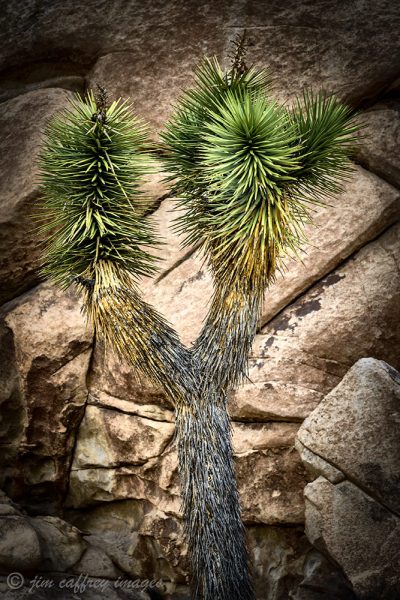
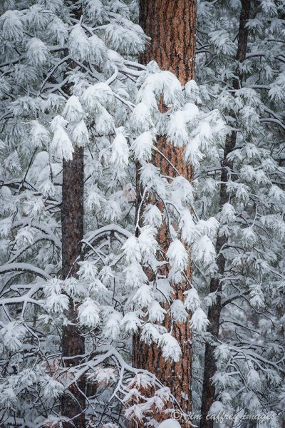
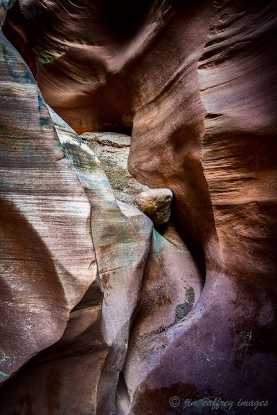
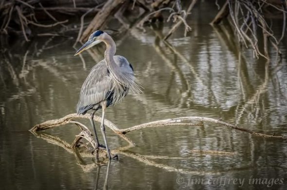
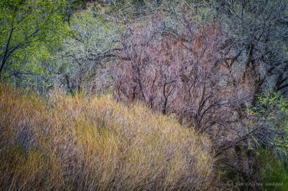
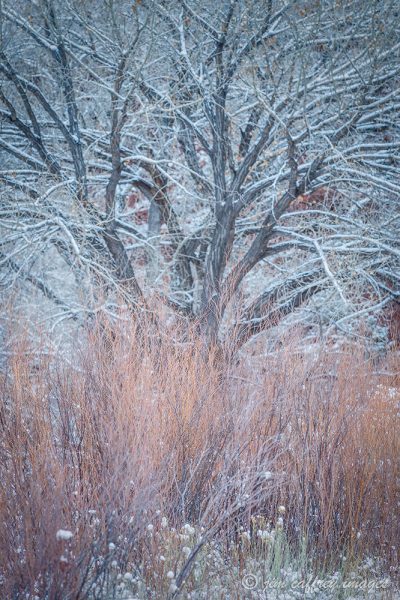
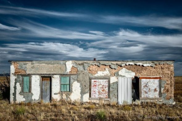
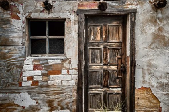
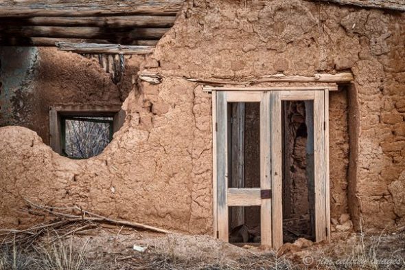
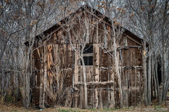
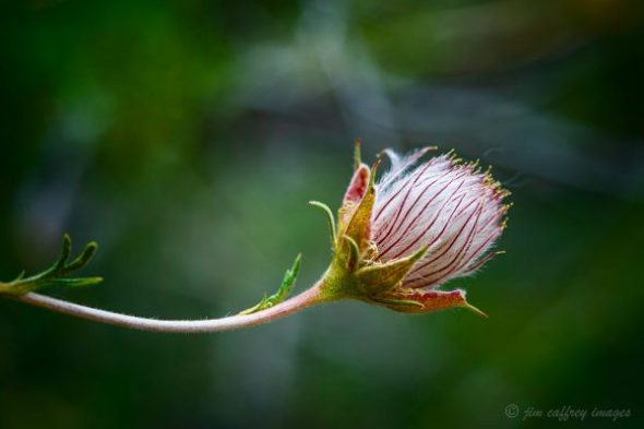
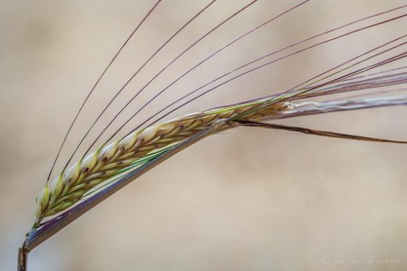
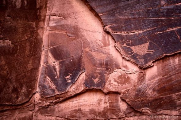
Every once in a while I go to my film archives and pore over the work I was doing in those days. Sometimes I find an image that, for whatever reason, I haven’t scanned to digital; at other times I come across something that I scanned years ago, but was done at too low a resolution, with poor color management, or both. The photographs included here are from my last journey through the past and are all re-processed.
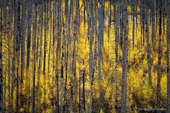
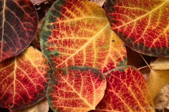 These aspen leaves were on the forest floor in the high country of the Jemez Mountains where I live. Sometimes, depending on moisture and temperature conditions, the aspens will turn a firey red with yellow hi-lighting the veins. I remember coming across these leaves and spending a long time moving around trying different compositions. This was one of the best of that series.
Nikon F3, Nikkor 105mm f2.8 macro, 1/5 sec, f16, Fuji Velvia 50
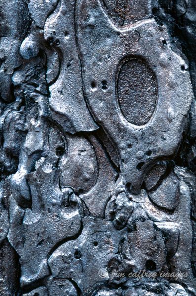
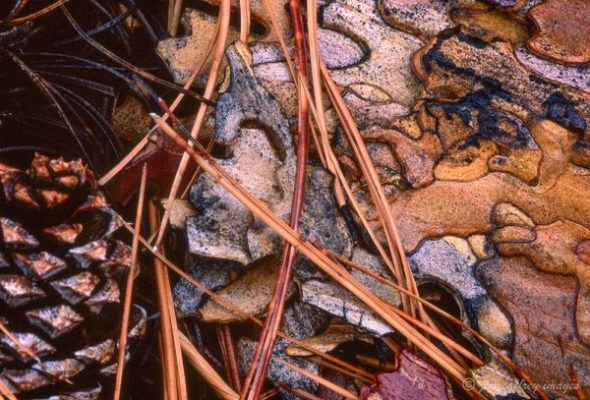 I went through a period when every photograph I made was a close-up, or a macro. This image caught my eye and I thought of it as a family portrait because all the elements were from a pine tree: the textured, multi-toned bark, the cone, and the needles haphazardly strewn across it all made a beautiful, serendipitous composition.
Nikon F100, Nikkor 105mm f2.8 macro, 1/10 sec, f11, Fuji Velvia 50
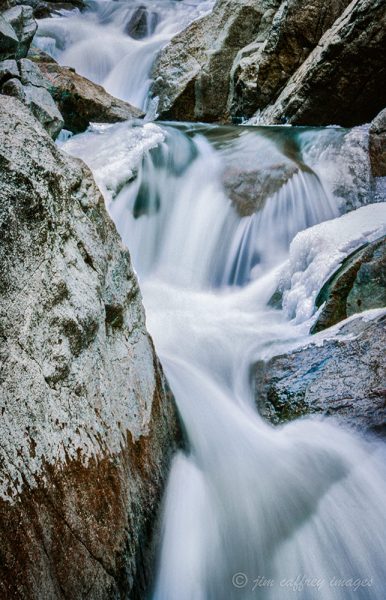
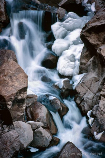 This waterfall has long been a favorite location of mine. The river tumbles through a drop in a narrow canyon with granite walls. The visual and thematic contrast make a powerful statement about the raw power of nature.
Nikon F3, Nikkor 80-200mm f2.8 @200mm, 1.3 sec, f11, Kodachrome 64
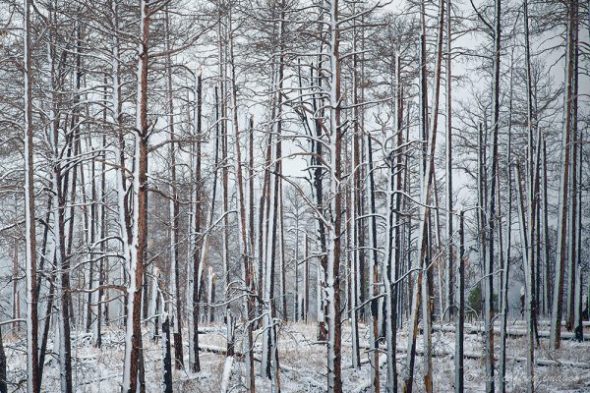
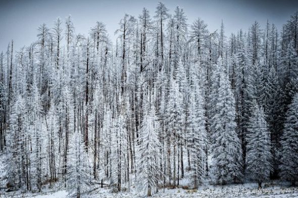
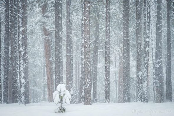
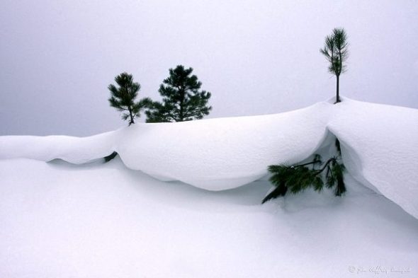 The Valle Grande is the caldera of a collapsed volcano that is the center of the Jemez Mountains. In the winter with several feet of snow on the ground and a north wind, the blown snow can form a cornice like this one. I found these pine saplings poking through the crest during a January storm.
Nikon F 100, Nikkor 35-70mm f2.8 @55mm, 1/20 sec, f16, Kodachrome 64
If you are interested in purchasing a print of one of the images in this post, just click on the image and you will be directed to that image’s page on my website.